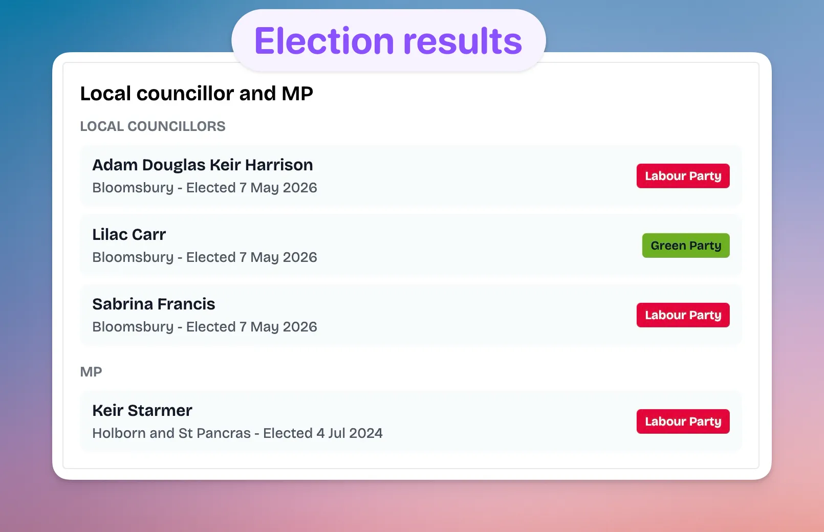
Area360 postcode pages now include 2026 election results where available, making it easier to find your local councillor and member of parliament by postcode.
When you open a postcode page, you can see the local councillor or councillors for the ward, plus the member of parliament for the parliamentary constituency. Each result includes the representative’s name, the elected post, the election date, and a party badge using the party’s brand colour.
The update also includes 2026 election results where those results are available in the source data, so recent local election outcomes can appear directly on the relevant postcode page.
This makes postcode research a bit more complete. Alongside crime, deprivation, transport, schools, parks, council tax and property prices, you can now see who represents the area locally and nationally.
The data comes from Democracy Club and is matched to Area360 postcode geography using ward and constituency codes. The result is designed to be simple: search a postcode, scroll to the local representatives section, and see the people currently elected for that area.
This update is now live on postcode pages such as W1T 4EY.